
United Kingdom
SP8 post code
Post code details
15 placesCode
Place
Bourton
Region
England
County
Dorset
Coordinates
51.0744, -2.3278
Accuracy
4 / 6
Country
United Kingdom
Location
OpenStreetMap ↗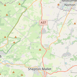
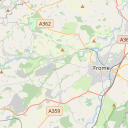
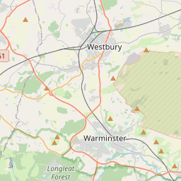


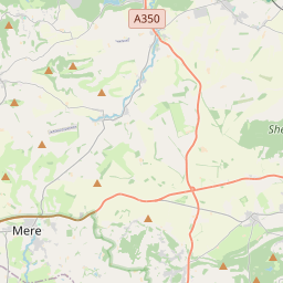


51.0744, -2.3278© OpenStreetMap
Places under this code
15| Place | Region | County | Coordinates |
|---|---|---|---|
| Bourton | England | Dorset | 51.0744, -2.3278 |
| Buckhorn Weston | England | Dorset | 51.02, -2.3492 |
| East Stour | England | Dorset | 51.0076, -2.285 |
| Fifehead Magdalen | England | Dorset | 50.9886, -2.3226 |
| Gillingham | England | Dorset | 51.0383, -2.2761 |
| Huntingford | England | Dorset | 51.0359, -2.3042 |
| Kington Magna | England | Dorset | 51.0051, -2.3418 |
| Knap Corner | England | Dorset | 51.0359, -2.3042 |
| Madjeston | England | Dorset | 51.0359, -2.3042 |
| Milton on Stour | England | Dorset | 51.056, -2.2859 |
| Peacemarsh | England | Dorset | 51.0359, -2.3042 |
| Silton | England | Dorset | 51.0622, -2.3131 |
| Stour Provost | England | Dorset | 50.9925, -2.2927 |
| West Stour | England | Dorset | 51.0005, -2.3149 |
| Wyke | England | Dorset | 51.0359, -2.3042 |
Same code in other countries
0This code only appears in this country.
FAQ
Which city is SP8 in?
Bourton, England, United Kingdom.
What are the coordinates of SP8?
51.0744, -2.3278
Is SP8 used in other countries?
No.
The data is unofficial and has known truncation; verify with the recipient and carrier for critical shipments. See data source & license → · Updated 2026-11-09. Attribution in