
Regno Unito
DE13 codice postale
Dettagli del codice postale
21 luoghiCodice
Luogo
Alrewas
Regione
England
Contea
Staffordshire
Coordinate
52.7328, -1.7497
Precisione
4 / 6
Paese
Regno Unito
Posizione
OpenStreetMap ↗
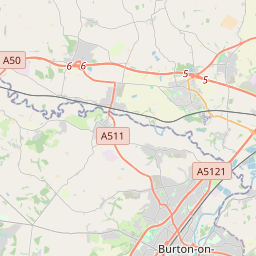
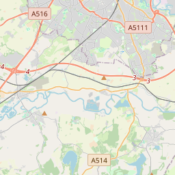


52.7328, -1.7497© OpenStreetMap
Luoghi con questo codice
21| Luogo | Regione | Contea | Coordinate |
|---|---|---|---|
| Alrewas | England | Staffordshire | 52.7328, -1.7497 |
| Anslow | England | Staffordshire | 52.8255, -1.6868 |
| Anslow Gate | England | Staffordshire | 52.8076, -1.6919 |
| Barton-under-Needwood | England | Staffordshire | 52.7627, -1.724 |
| Dunstall | England | Staffordshire | 52.7667, -1.7333 |
| Hadley End | England | Staffordshire | 52.8076, -1.6919 |
| Hanbury | England | Staffordshire | 52.847, -1.7447 |
| Hanbury Woodend | England | Staffordshire | 52.8076, -1.6919 |
| Hoar Cross | England | Staffordshire | 52.8071, -1.8093 |
| Horninglow | England | Staffordshire | 52.8224, -1.6422 |
| King's Bromley | England | Staffordshire | 52.7481, -1.8198 |
| Morrey | England | Staffordshire | 52.8076, -1.6919 |
| Newborough | England | Staffordshire | 52.8167, -1.8 |
| Orgreave | England | Staffordshire | 52.8076, -1.6919 |
| Rangemore | England | Staffordshire | 52.8076, -1.6919 |
| Rolleston | England | Staffordshire | 52.8452, -1.646 |
| Stretton | England | Staffordshire | 52.8325, -1.6279 |
| Tatenhill | England | Staffordshire | 52.7916, -1.6995 |
| Tutbury | England | Staffordshire | 52.856, -1.6865 |
| Woodhouses | England | Staffordshire | 52.8076, -1.6919 |
| Yoxall | England | Staffordshire | 52.7666, -1.7907 |
Stesso codice in altri Paesi
0Questo codice compare solo in questo Paese.
FAQ
In quale città si trova DE13?
Alrewas, England, Regno Unito.
Quali sono le coordinate di DE13?
52.7328, -1.7497
DE13 è usato in altri Paesi?
No.
I dati non sono ufficiali e presentano troncamenti noti; per le spedizioni critiche verifica con il destinatario e con il corriere. Vedi fonte e licenza dei dati → · Aggiornato il 2026-11-09. Attribuzione in