
Regno Unito
TF13 codice postale
Dettagli del codice postale
14 luoghiCodice
Luogo
Bourton
Regione
England
Contea
Shropshire
Coordinate
52.5667, -2.6
Precisione
4 / 6
Paese
Regno Unito
Posizione
OpenStreetMap ↗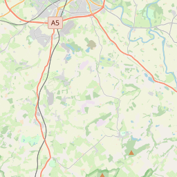
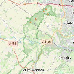


52.5667, -2.6© OpenStreetMap
Luoghi con questo codice
14| Luogo | Regione | Contea | Coordinate |
|---|---|---|---|
| Bourton | England | Shropshire | 52.5667, -2.6 |
| Brockton | England | Shropshire | 52.5793, -2.5809 |
| East Wall | England | Shropshire | 52.5793, -2.5809 |
| Easthope | England | Shropshire | 52.5533, -2.6407 |
| Holdgate | England | Shropshire | 52.5793, -2.5809 |
| Homer | England | Shropshire | 52.5793, -2.5809 |
| Longville in the Dale | England | Shropshire | 52.5397, -2.6803 |
| Much Wenlock | England | Shropshire | 52.5958, -2.5575 |
| Presthope | England | Shropshire | 52.5727, -2.6179 |
| Shipton | England | Shropshire | 52.525, -2.6452 |
| Stanton Long | England | Shropshire | 52.5119, -2.631 |
| Stretton Westwood | England | Shropshire | 52.5793, -2.5809 |
| Weston | England | Shropshire | 52.5793, -2.5809 |
| Wyke | England | Shropshire | 52.5793, -2.5809 |
Stesso codice in altri Paesi
0Questo codice compare solo in questo Paese.
FAQ
In quale città si trova TF13?
Bourton, England, Regno Unito.
Quali sono le coordinate di TF13?
52.5667, -2.6
TF13 è usato in altri Paesi?
No.
I dati non sono ufficiali e presentano troncamenti noti; per le spedizioni critiche verifica con il destinatario e con il corriere. Vedi fonte e licenza dei dati → · Aggiornato il 2026-11-09. Attribuzione in