
Mexico
30828 post code
Post code details
7 placesCode
Place
El Manzano
Region
Chiapas
County
Tapachula
Coordinates
14.7617, -92.3013
Accuracy
4 / 6
Country
Mexico
Location
OpenStreetMap ↗


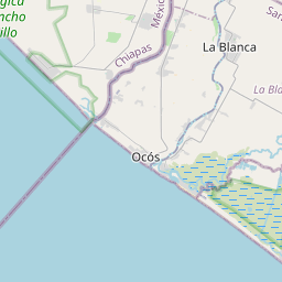
14.7617, -92.3013© OpenStreetMap
Places under this code
7| Place | Region | County | Coordinates |
|---|---|---|---|
| El Manzano | Chiapas | Tapachula | 14.7617, -92.3013 |
| El Progreso | Chiapas | Tapachula | 14.9232, -92.2493 |
| Isleven | Chiapas | Tapachula | 14.775, -92.2653 |
| Las Quebradas | Chiapas | Tapachula | 14.7464, -92.2631 |
| Reforma | Chiapas | Tapachula | 14.9051, -92.2725 |
| San Antonio Cintaguayate | Chiapas | Tapachula | 14.7736, -92.2669 |
| San Luis | Chiapas | Tapachula | 14.7963, -92.3017 |
Same code in other countries
2| Country | Place | Region |
|---|---|---|
| PL Poland | Kraków | Lesser Poland |
| US United States | Warrenton | Georgia |
FAQ
Which city is 30828 in?
El Manzano, Chiapas, Mexico.
What are the coordinates of 30828?
14.7617, -92.3013
Is 30828 used in other countries?
Yes, 2 other countries.
The data is unofficial and has known truncation; verify with the recipient and carrier for critical shipments. See data source & license → · Updated 2026-11-09. Attribution in