
Mexico
35267 post code
Post code details
8 placesCode
Place
Amapolas
Region
Durango
County
Tlahualilo
Coordinates
25.9579, -103.5433
Accuracy
4 / 6
Country
Mexico
Location
OpenStreetMap ↗

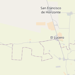
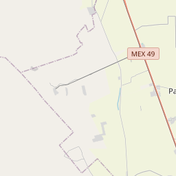
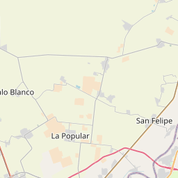
25.9579, -103.5433© OpenStreetMap
Places under this code
8| Place | Region | County | Coordinates |
|---|---|---|---|
| Amapolas | Durango | Tlahualilo | 25.9579, -103.5433 |
| El Brillante | Durango | Tlahualilo | 25.9295, -103.5916 |
| La Giralda | Durango | Tlahualilo | 25.9605, -103.5251 |
| La Palma | Durango | Tlahualilo | 26.345, -103.6255 |
| La Sierrita | Durango | Tlahualilo | 25.9617, -103.65 |
| Loma Verde | Durango | Tlahualilo | 25.9227, -103.558 |
| San José de los Álamos | Durango | Tlahualilo | 25.9427, -103.5799 |
| San Sebastián Dos | Durango | Tlahualilo | 25.9242, -103.6112 |
Same code in other countries
2| Country | Place | Region |
|---|---|---|
| KR South Korea | 서구 | 대전광역시 |
| RS Serbia | Oparić | — |
FAQ
Which city is 35267 in?
Amapolas, Durango, Mexico.
What are the coordinates of 35267?
25.9579, -103.5433
Is 35267 used in other countries?
Yes, 2 other countries.
The data is unofficial and has known truncation; verify with the recipient and carrier for critical shipments. See data source & license → · Updated 2026-11-09. Attribution in