
Mexico
35830 post code
Post code details
11 placesCode
Place
Cerro Gordo
Region
Durango
County
Cuencamé
Coordinates
24.7856, -103.6441
Accuracy
4 / 6
Country
Mexico
Location
OpenStreetMap ↗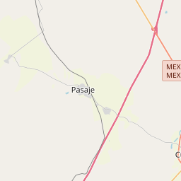
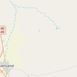
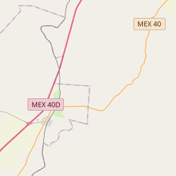
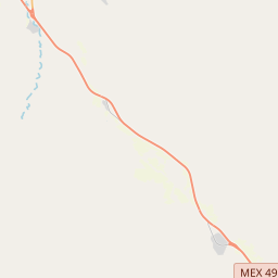
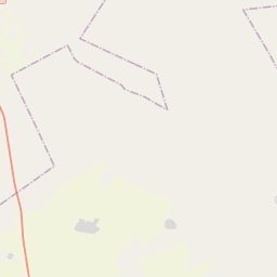
24.7856, -103.6441© OpenStreetMap
Places under this code
11| Place | Region | County | Coordinates |
|---|---|---|---|
| Cerro Gordo | Durango | Cuencamé | 24.7856, -103.6441 |
| El Aguaje | Durango | Cuencamé | 24.6947, -103.7003 |
| El Aguajito | Durango | Cuencamé | 24.7638, -103.6898 |
| El Carrizal | Durango | Cuencamé | 24.822, -103.6852 |
| El Huizache | Durango | Cuencamé | 24.6947, -103.7003 |
| El Nogalito | Durango | Cuencamé | 24.6947, -103.7003 |
| El Pedregal | Durango | Cuencamé | 24.768, -103.6381 |
| Los Altares | Durango | Cuencamé | 24.7698, -103.6979 |
| Mangas Cuatas | Durango | Cuencamé | 24.7691, -103.6277 |
| San Pedro de Ocuila | Durango | Cuencamé | 24.8311, -103.6897 |
| Santa Cruz de la Cuchilla | Durango | Cuencamé | 24.8458, -103.6448 |
FAQ
Which city is 35830 in?
Cerro Gordo, Durango, Mexico.
What are the coordinates of 35830?
24.7856, -103.6441
Is 35830 used in other countries?
Yes, 2 other countries.
The data is unofficial and has known truncation; verify with the recipient and carrier for critical shipments. See data source & license → · Updated 2026-11-09. Attribution in