
Mexico
41910 post code
Post code details
18 placesCode
Place
El Carrizo
Region
Guerrero
County
Azoyú
Coordinates
16.6833, -98.6267
Accuracy
4 / 6
Country
Mexico
Location
OpenStreetMap ↗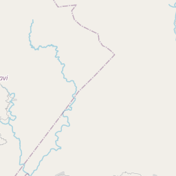
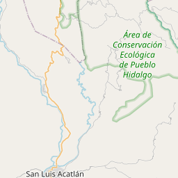
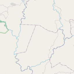
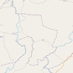

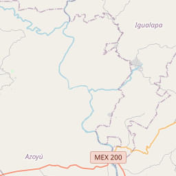
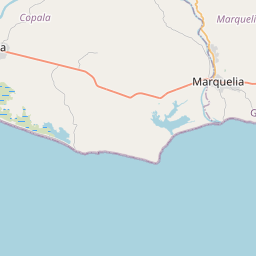
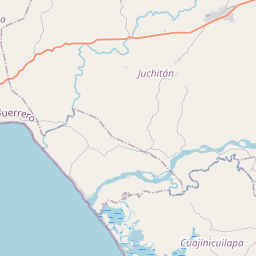
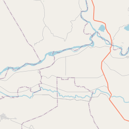
16.6833, -98.6267© OpenStreetMap
Places under this code
18| Place | Region | County | Coordinates |
|---|---|---|---|
| El Carrizo | Guerrero | Azoyú | 16.6833, -98.6267 |
| Finca los Pumas (Crucero Lomas del Vidal) | Guerrero | Azoyú | 16.6815, -98.6371 |
| Huerta Pablo Maceda | Guerrero | Azoyú | 16.6815, -98.6371 |
| La Mazacuata | Guerrero | Azoyú | 16.6815, -98.6371 |
| La Pelota | Guerrero | Azoyú | 16.6725, -98.6369 |
| Las Palmas | Guerrero | Azoyú | 16.7135, -98.6634 |
| Llano del Muerto (Rancho de Chema Rodríguez) | Guerrero | Azoyú | 16.6815, -98.6371 |
| Lomas del Vidal (El Vidal) | Guerrero | Azoyú | 16.6879, -98.6143 |
| Rancho Bautista Dos (Hermanos B. Florentino) | Guerrero | Azoyú | 16.6815, -98.6371 |
| Rancho Dos Laureles | Guerrero | Azoyú | 16.6815, -98.6371 |
| Rancho Dos Potrillos (Rancho Luis Justo H.) | Guerrero | Azoyú | 16.6889, -98.6419 |
| Rancho Eleazar Zurita | Guerrero | Azoyú | 16.6815, -98.6371 |
| Rancho Muñoz Castellanos | Guerrero | Azoyú | 16.6693, -98.6496 |
| Rancho el Centenario (Rancho Luis Justo) | Guerrero | Azoyú | 16.6815, -98.6371 |
| Rancho el Limón (Rancho Bautista) | Guerrero | Azoyú | 16.6815, -98.6371 |
| Rancho la Antena | Guerrero | Azoyú | 16.6815, -98.6371 |
| Rancho Ángel Zurita | Guerrero | Azoyú | 16.6815, -98.6371 |
| San Isidro el Puente (El Puente) | Guerrero | Azoyú | 16.655, -98.6269 |
Same code in other countries
5FAQ
Which city is 41910 in?
El Carrizo, Guerrero, Mexico.
What are the coordinates of 41910?
16.6833, -98.6267
Is 41910 used in other countries?
Yes, 5 other countries.
The data is unofficial and has known truncation; verify with the recipient and carrier for critical shipments. See data source & license → · Updated 2026-11-09. Attribution in