
Mexico
43834 post code
Post code details
7 placesCode
Place
Colorado
Region
Hidalgo
County
Zempoala
Coordinates
19.9231, -98.6722
Accuracy
4 / 6
Country
Mexico
Location
OpenStreetMap ↗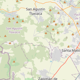
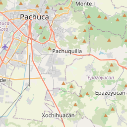
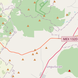
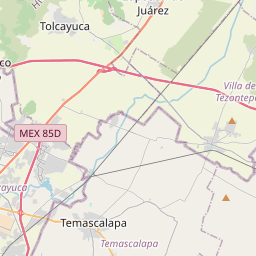
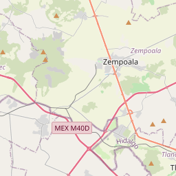
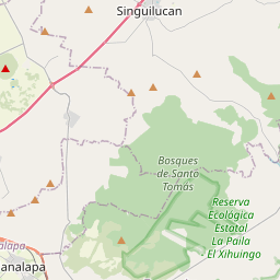
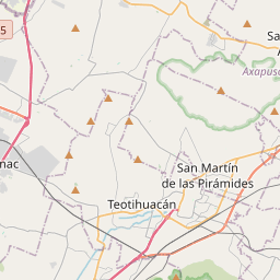
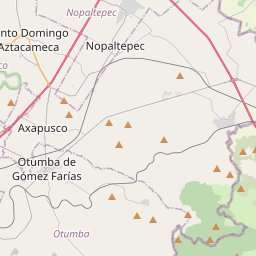
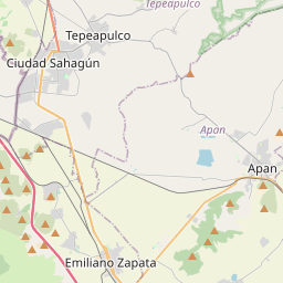
19.9231, -98.6722© OpenStreetMap
Places under this code
7| Place | Region | County | Coordinates |
|---|---|---|---|
| Colorado | Hidalgo | Zempoala | 19.9231, -98.6722 |
| Coporo | Hidalgo | Zempoala | 19.916, -98.6457 |
| El Barrio Casas Coloradas | Hidalgo | Zempoala | 19.8553, -98.6572 |
| San José Tetecuintla | Hidalgo | Zempoala | 19.916, -98.6457 |
| Santa María | Hidalgo | Zempoala | 19.9395, -98.5944 |
| Tlaquilpan | Hidalgo | Zempoala | 19.9451, -98.7529 |
| Venustiano Carranza | Hidalgo | Zempoala | 19.8758, -98.6492 |
Same code in other countries
1| Country | Place | Region |
|---|---|---|
| SE Sweden | Landvetter | Västra Götaland |
FAQ
Which city is 43834 in?
Colorado, Hidalgo, Mexico.
What are the coordinates of 43834?
19.9231, -98.6722
Is 43834 used in other countries?
Yes, 1 other countries.