
Mexico
51598 post code
Post code details
6 placesCode
Place
El Naranjo
Region
México
County
Tlatlaya
Coordinates
18.5036, -100.3254
Accuracy
4 / 6
Country
Mexico
Location
OpenStreetMap ↗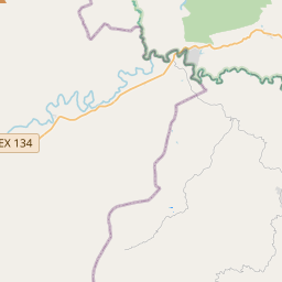
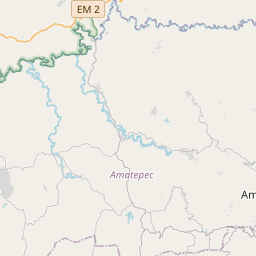
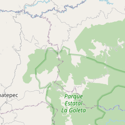
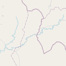
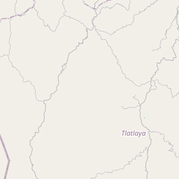
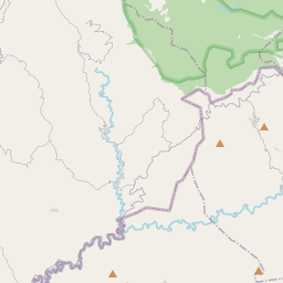
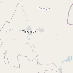
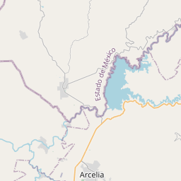
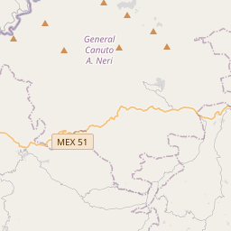
18.5036, -100.3254© OpenStreetMap
Places under this code
6| Place | Region | County | Coordinates |
|---|---|---|---|
| El Naranjo | México | Tlatlaya | 18.5036, -100.3254 |
| El Temblor | México | Tlatlaya | 18.3916, -100.3097 |
| Las Juntas | México | Tlatlaya | 18.3812, -100.3034 |
| Nuevo Copaltepec | México | Tlatlaya | 18.3847, -100.2875 |
| Palos Altos | México | Tlatlaya | 18.5445, -100.2571 |
| San Antonio del Rosario | México | Tlatlaya | 18.4001, -100.3087 |
Same code in other countries
2| Country | Place | Region |
|---|---|---|
| DE Germany | Friesenhagen | Rheinland-Pfalz |
| KR South Korea | 창원시 진해구 | 경상남도 |
FAQ
Which city is 51598 in?
El Naranjo, México, Mexico.
What are the coordinates of 51598?
18.5036, -100.3254
Is 51598 used in other countries?
Yes, 2 other countries.
The data is unofficial and has known truncation; verify with the recipient and carrier for critical shipments. See data source & license → · Updated 2026-11-09. Attribution in