
Mexico
78405 post code
Post code details
20 placesCode
Place
Angostura
Region
San Luis Potosí
County
San Luis Potosí
Coordinates
22.4864, -101.0492
Accuracy
4 / 6
Country
Mexico
Location
OpenStreetMap ↗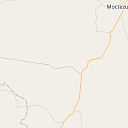
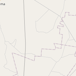
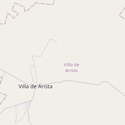
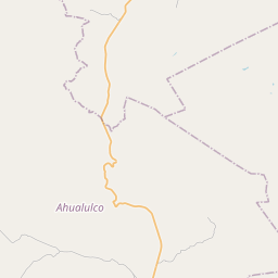
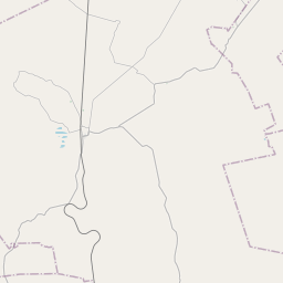
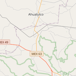
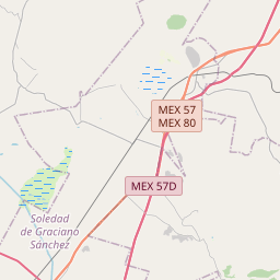
22.4864, -101.0492© OpenStreetMap
Places under this code
20| Place | Region | County | Coordinates |
|---|---|---|---|
| Angostura | San Luis Potosí | San Luis Potosí | 22.4864, -101.0492 |
| Bocas (Estación Bocas) | San Luis Potosí | San Luis Potosí | 22.466, -101.0234 |
| Cerro de la Virgen (San Juan de Bocas) | San Luis Potosí | San Luis Potosí | 22.5017, -101.0203 |
| Ejido San Rafael | San Luis Potosí | San Luis Potosí | 22.466, -101.0234 |
| El Ancón | San Luis Potosí | San Luis Potosí | 22.5136, -101.0289 |
| El Cascarón (La Mesita) | San Luis Potosí | San Luis Potosí | 22.466, -101.0234 |
| El Celebro | San Luis Potosí | San Luis Potosí | 22.4617, -100.9831 |
| El Temporal | San Luis Potosí | San Luis Potosí | 22.466, -101.0234 |
| El Varal | San Luis Potosí | San Luis Potosí | 22.5069, -101.0386 |
| La Mesita | San Luis Potosí | San Luis Potosí | 22.2703, -100.9608 |
| La Pedrera | San Luis Potosí | San Luis Potosí | 22.4964, -101.0228 |
| Las Pozas | San Luis Potosí | San Luis Potosí | 22.5025, -101.0425 |
| Los Gómez | San Luis Potosí | San Luis Potosí | 22.4664, -101.0153 |
| Los Rebajes | San Luis Potosí | San Luis Potosí | 22.5011, -101.0233 |
| Peñas Altas | San Luis Potosí | San Luis Potosí | 22.4981, -101.05 |
| San Antonio | San Luis Potosí | San Luis Potosí | 22.4742, -101.0197 |
| San José | San Luis Potosí | San Luis Potosí | 22.1971, -100.9876 |
| San José de los Cenizos | San Luis Potosí | San Luis Potosí | 22.466, -101.0234 |
| San Rafael Uno (El Cañón) | San Luis Potosí | San Luis Potosí | 22.466, -101.0234 |
| Tepozán | San Luis Potosí | San Luis Potosí | 22.4519, -101.0225 |
Same code in other countries
4FAQ
Which city is 78405 in?
Angostura, San Luis Potosí, Mexico.
What are the coordinates of 78405?
22.4864, -101.0492
Is 78405 used in other countries?
Yes, 4 other countries.
The data is unofficial and has known truncation; verify with the recipient and carrier for critical shipments. See data source & license → · Updated 2026-11-09. Attribution in