
Mexico
79547 post code
Post code details
29 placesCode
Place
Campo de Tiro (Club de Tiro Ferrocarrilero)
Region
San Luis Potosí
County
Zaragoza
Coordinates
22.1293, -100.7311
Accuracy
3 / 6
Country
Mexico
Location
OpenStreetMap ↗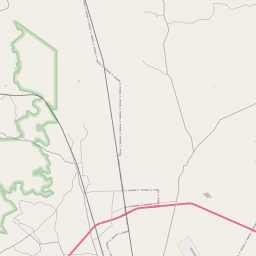
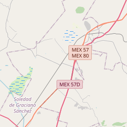
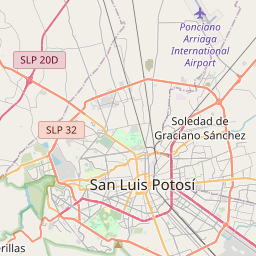
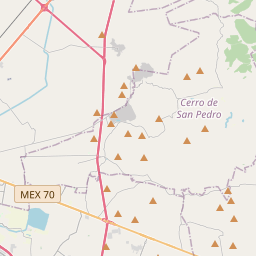
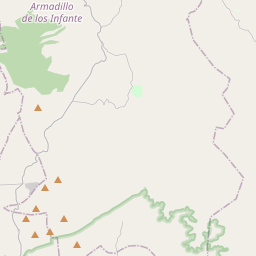
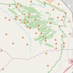
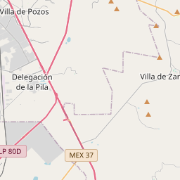
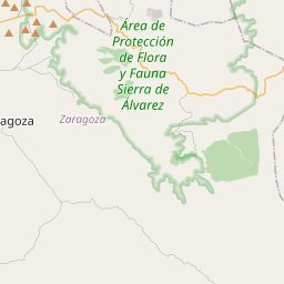
22.1293, -100.7311© OpenStreetMap
Places under this code
29| Place | Region | County | Coordinates |
|---|---|---|---|
| Campo de Tiro (Club de Tiro Ferrocarrilero) | San Luis Potosí | Zaragoza | 22.1293, -100.7311 |
| Casas Blancas | San Luis Potosí | Zaragoza | 22.1167, -100.7467 |
| Corral de Palmas | San Luis Potosí | Zaragoza | 22.1083, -100.7528 |
| Derramadero | San Luis Potosí | Zaragoza | 22.1233, -100.7481 |
| El Castillo | San Luis Potosí | Zaragoza | 22.0082, -100.6767 |
| El Garabatillo | San Luis Potosí | Zaragoza | 22.1293, -100.7311 |
| El Llano de Santa Isabel | San Luis Potosí | Zaragoza | 22.0983, -100.7183 |
| El Potrero de Rosario | San Luis Potosí | Zaragoza | 22.1293, -100.7311 |
| Garrochitas | San Luis Potosí | Zaragoza | 22.1581, -100.7094 |
| Hacienda de la Morena | San Luis Potosí | Zaragoza | 22.1293, -100.7311 |
| Independencia (Patol) | San Luis Potosí | Zaragoza | 22.1196, -100.7402 |
| José Natividad Silva | San Luis Potosí | Zaragoza | 22.1293, -100.7311 |
| La Estancia | San Luis Potosí | Zaragoza | 22.115, -100.7147 |
| La Luz (Rodríguez Gaytán) | San Luis Potosí | Zaragoza | 22.1572, -100.7356 |
| La Morena | San Luis Potosí | Zaragoza | 22.1502, -100.7315 |
| La Tinaja | San Luis Potosí | Zaragoza | 22.1642, -100.7186 |
| Las Trojes | San Luis Potosí | Zaragoza | 22.1447, -100.7708 |
| Las Ánimas | San Luis Potosí | Zaragoza | 22.0082, -100.6767 |
| Los Calicantitos (Jorge del Fierro) | San Luis Potosí | Zaragoza | 22.1293, -100.7311 |
| Los Terreros | San Luis Potosí | Zaragoza | 22.1275, -100.7294 |
| Magdaleno de la Rosa | San Luis Potosí | Zaragoza | 22.1293, -100.7311 |
| Paso Colorado | San Luis Potosí | Zaragoza | 22.1475, -100.7494 |
| Ranchito de los Rivera | San Luis Potosí | Zaragoza | 22.1133, -100.6969 |
| Rancho el Pituche | San Luis Potosí | Zaragoza | 22.1293, -100.7311 |
| San José de Gómez | San Luis Potosí | Zaragoza | 22.1225, -100.7092 |
| Tanque Prieto | San Luis Potosí | Zaragoza | 22.145, -100.755 |
| Tanque el Llano | San Luis Potosí | Zaragoza | 22.1293, -100.7311 |
| Valente Moreno Ponce | San Luis Potosí | Zaragoza | 22.1169, -100.7236 |
| Xoconoxtle | San Luis Potosí | Zaragoza | 22.0983, -100.71 |
Same code in other countries
1| Country | Place | Region |
|---|---|---|
| US United States | Rule | Texas |
FAQ
Which city is 79547 in?
Campo de Tiro (Club de Tiro Ferrocarrilero), San Luis Potosí, Mexico.
What are the coordinates of 79547?
22.1293, -100.7311
Is 79547 used in other countries?
Yes, 1 other countries.
The data is unofficial and has known truncation; verify with the recipient and carrier for critical shipments. See data source & license → · Updated 2026-11-09. Attribution in