
Mexico
90139 post code
Post code details
4 placesCode
Place
De Puebla
Region
Tlaxcala
County
Santa Ana Nopalucan
Coordinates
19.2855, -98.3317
Accuracy
3 / 6
Country
Mexico
Location
OpenStreetMap ↗
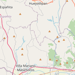
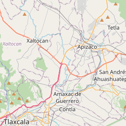

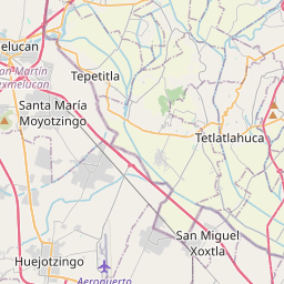
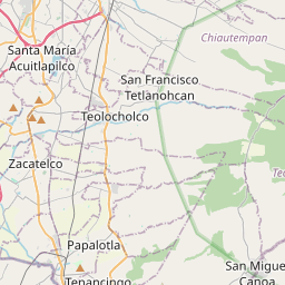

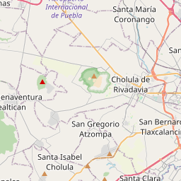
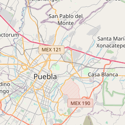
19.2855, -98.3317© OpenStreetMap
Places under this code
4| Place | Region | County | Coordinates |
|---|---|---|---|
| De Puebla | Tlaxcala | Santa Ana Nopalucan | 19.2855, -98.3317 |
| El Cerrito | Tlaxcala | Santa Ana Nopalucan | 19.2855, -98.3317 |
| El Rosario | Tlaxcala | Santa Ana Nopalucan | 19.2855, -98.3317 |
| Rancho San Ignacio | Tlaxcala | Santa Ana Nopalucan | 19.2855, -98.3317 |
FAQ
Which city is 90139 in?
De Puebla, Tlaxcala, Mexico.
What are the coordinates of 90139?
19.2855, -98.3317
Is 90139 used in other countries?
Yes, 3 other countries.
The data is unofficial and has known truncation; verify with the recipient and carrier for critical shipments. See data source & license → · Updated 2026-11-09. Attribution in