
Mexico
90505 post code
Post code details
7 placesCode
Place
Jardines de San Manuel
Region
Tlaxcala
County
Huamantla
Coordinates
19.3251, -97.9357
Accuracy
3 / 6
Country
Mexico
Location
OpenStreetMap ↗


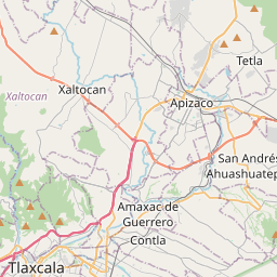


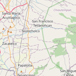


19.3251, -97.9357© OpenStreetMap
Places under this code
7| Place | Region | County | Coordinates |
|---|---|---|---|
| Jardines de San Manuel | Tlaxcala | Huamantla | 19.3251, -97.9357 |
| La Preciosa | Tlaxcala | Huamantla | 19.3091, -97.9282 |
| San Antonio | Tlaxcala | Huamantla | 19.3067, -97.9311 |
| San Francisco Yancuitlalpan | Tlaxcala | Huamantla | 19.3136, -97.9398 |
| San José | Tlaxcala | Huamantla | 19.31, -97.9319 |
| San Miguel | Tlaxcala | Huamantla | 19.3984, -97.9482 |
| Santa Maria Yancuitlalpan | Tlaxcala | Huamantla | 19.3126, -97.9351 |
Same code in other countries
3FAQ
Which city is 90505 in?
Jardines de San Manuel, Tlaxcala, Mexico.
What are the coordinates of 90505?
19.3251, -97.9357
Is 90505 used in other countries?
Yes, 3 other countries.
The data is unofficial and has known truncation; verify with the recipient and carrier for critical shipments. See data source & license → · Updated 2026-11-09. Attribution in