
ฝรั่งเศส
50240 รหัสไปรษณีย์
รายละเอียดรหัสไปรษณีย์
11 สถานที่รหัส
สถานที่
Argouges
ภูมิภาค
Normandie
เขต
Manche
พิกัด
48.5023, -1.3968
ความแม่นยำ
5 / 6
ประเทศ
ฝรั่งเศส
ตำแหน่ง
OpenStreetMap ↗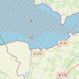
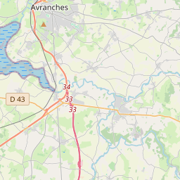


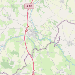
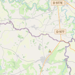
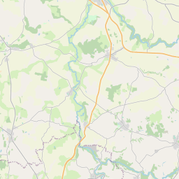
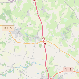
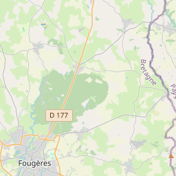
48.5023, -1.3968© OpenStreetMap
สถานที่ภายใต้รหัสนี้
11| สถานที่ | ภูมิภาค | เขต | พิกัด |
|---|---|---|---|
| Argouges | Normandie | Manche | 48.5023, -1.3968 |
| Carnet | Normandie | Manche | 48.5096, -1.3574 |
| La Croix-Avranchin | Normandie | Manche | 48.5457, -1.3836 |
| Montanel | Normandie | Manche | 48.4947, -1.4203 |
| Montjoie-Saint-Martin | Normandie | Manche | 48.5314, -1.291 |
| Saint-Aubin-de-Terregatte | Normandie | Manche | 48.576, -1.2999 |
| Saint-James | Normandie | Manche | 48.5218, -1.3263 |
| Saint-Laurent-de-Terregatte | Normandie | Manche | 48.5717, -1.2592 |
| Saint-Senier-de-Beuvron | Normandie | Manche | 48.5721, -1.3455 |
| Vergoncey | Normandie | Manche | 48.5622, -1.3992 |
| Villiers-le-Pré | Normandie | Manche | 48.5418, -1.4001 |
FAQ
50240 อยู่ในเมืองใด?
Argouges, Normandie, ฝรั่งเศส
พิกัดของ 50240 คืออะไร?
48.5023, -1.3968
50240 ถูกใช้ในประเทศอื่นด้วยหรือไม่?
ใช่ ในอีก 9 ประเทศ
ข้อมูลไม่เป็นทางการและมีการตัดทอนที่ทราบอยู่แล้ว ตรวจสอบกับผู้รับและผู้ขนส่งสำหรับการจัดส่งที่สำคัญ ดูแหล่งที่มาและสัญญาอนุญาตของข้อมูล → · อัปเดต 2026-11-09 ดูการอ้างอิงที่