
สหราชอาณาจักร
SG9 รหัสไปรษณีย์
รายละเอียดรหัสไปรษณีย์
22 สถานที่รหัส
สถานที่
Anstey
ภูมิภาค
England
เขต
Hertfordshire
พิกัด
51.9763, 0.0436
ความแม่นยำ
4 / 6
ประเทศ
สหราชอาณาจักร
ตำแหน่ง
OpenStreetMap ↗
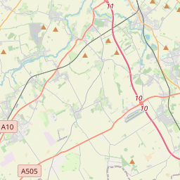
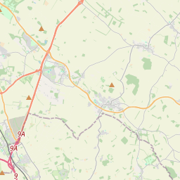
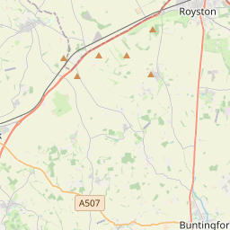
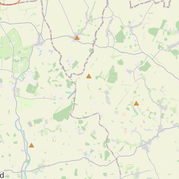
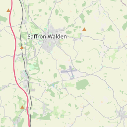
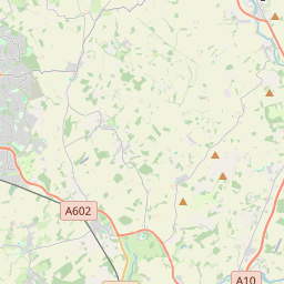
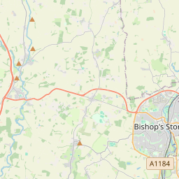
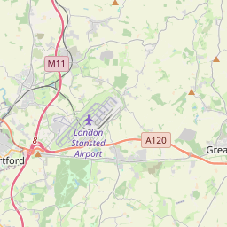
51.9763, 0.0436© OpenStreetMap
สถานที่ภายใต้รหัสนี้
22| สถานที่ | ภูมิภาค | เขต | พิกัด |
|---|---|---|---|
| Anstey | England | Hertfordshire | 51.9763, 0.0436 |
| Aspenden | England | Hertfordshire | 51.9363, -0.0287 |
| Barleycroft End | England | Hertfordshire | 51.9291, -0.0521 |
| Brent Pelham | England | Hertfordshire | 51.9571, 0.0855 |
| Buckland | England | Hertfordshire | 51.9844, -0.0268 |
| Buntingford | England | Hertfordshire | 51.9461, -0.0184 |
| Chipping | England | Hertfordshire | 51.9291, -0.0521 |
| Cottered | England | Hertfordshire | 51.9468, -0.0818 |
| East End | England | Hertfordshire | 51.9522, -0.0087 |
| Furneux Pelham | England | Hertfordshire | 51.9314, 0.0805 |
| Great Hormead | England | Hertfordshire | 51.9509, 0.0383 |
| Hare Street | England | Hertfordshire | 51.9291, -0.0521 |
| Little Hormead | England | Hertfordshire | 51.9418, 0.0392 |
| Meesden | England | Hertfordshire | 51.9724, 0.0824 |
| Mill End | England | Hertfordshire | 51.9522, -0.0087 |
| Roe Green | England | Hertfordshire | 51.9291, -0.0521 |
| Rushden | England | Hertfordshire | 51.9667, -0.1 |
| Sandon | England | Hertfordshire | 51.9927, -0.0759 |
| Stocking Pelham | England | Hertfordshire | 51.9415, 0.1117 |
| Throcking | England | Hertfordshire | 51.9291, -0.0521 |
| Westmill | England | Hertfordshire | 51.9257, -0.0116 |
| Wyddial | England | Hertfordshire | 51.9645, -0.0037 |
รหัสเดียวกันในประเทศอื่น
0รหัสนี้ปรากฏเฉพาะในประเทศนี้เท่านั้น
FAQ
SG9 อยู่ในเมืองใด?
Anstey, England, สหราชอาณาจักร
พิกัดของ SG9 คืออะไร?
51.9763, 0.0436
SG9 ถูกใช้ในประเทศอื่นด้วยหรือไม่?
ไม่
ข้อมูลไม่เป็นทางการและมีการตัดทอนที่ทราบอยู่แล้ว ตรวจสอบกับผู้รับและผู้ขนส่งสำหรับการจัดส่งที่สำคัญ ดูแหล่งที่มาและสัญญาอนุญาตของข้อมูล → · อัปเดต 2026-11-09 ดูการอ้างอิงที่