
Reino Unido
SG9 código postal
Detalhes do código postal
22 locaisCódigo
Local
Anstey
Região
England
Condado
Hertfordshire
Coordenadas
51.9763, 0.0436
Precisão
4 / 6
País
Reino Unido
Localização
OpenStreetMap ↗
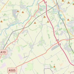
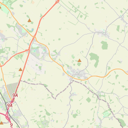
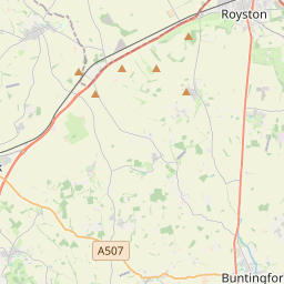
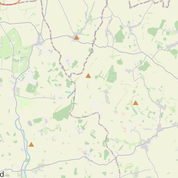
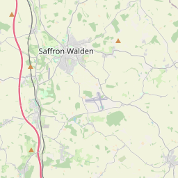
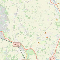
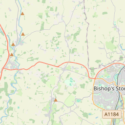
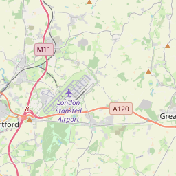
51.9763, 0.0436© OpenStreetMap
Locais com este código
22| Local | Região | Condado | Coordenadas |
|---|---|---|---|
| Anstey | England | Hertfordshire | 51.9763, 0.0436 |
| Aspenden | England | Hertfordshire | 51.9363, -0.0287 |
| Barleycroft End | England | Hertfordshire | 51.9291, -0.0521 |
| Brent Pelham | England | Hertfordshire | 51.9571, 0.0855 |
| Buckland | England | Hertfordshire | 51.9844, -0.0268 |
| Buntingford | England | Hertfordshire | 51.9461, -0.0184 |
| Chipping | England | Hertfordshire | 51.9291, -0.0521 |
| Cottered | England | Hertfordshire | 51.9468, -0.0818 |
| East End | England | Hertfordshire | 51.9522, -0.0087 |
| Furneux Pelham | England | Hertfordshire | 51.9314, 0.0805 |
| Great Hormead | England | Hertfordshire | 51.9509, 0.0383 |
| Hare Street | England | Hertfordshire | 51.9291, -0.0521 |
| Little Hormead | England | Hertfordshire | 51.9418, 0.0392 |
| Meesden | England | Hertfordshire | 51.9724, 0.0824 |
| Mill End | England | Hertfordshire | 51.9522, -0.0087 |
| Roe Green | England | Hertfordshire | 51.9291, -0.0521 |
| Rushden | England | Hertfordshire | 51.9667, -0.1 |
| Sandon | England | Hertfordshire | 51.9927, -0.0759 |
| Stocking Pelham | England | Hertfordshire | 51.9415, 0.1117 |
| Throcking | England | Hertfordshire | 51.9291, -0.0521 |
| Westmill | England | Hertfordshire | 51.9257, -0.0116 |
| Wyddial | England | Hertfordshire | 51.9645, -0.0037 |
O mesmo código noutros países
0Este código só aparece neste país.
FAQ
Em que cidade fica SG9?
Anstey, England, Reino Unido.
Quais são as coordenadas de SG9?
51.9763, 0.0436
O SG9 é usado noutros países?
Não.
Os dados não são oficiais e têm truncamentos conhecidos; confirme com o destinatário e a transportadora em envios críticos. Ver origem e licença dos dados → · Atualizado em 2026-11-09. Atribuição em