
Poland
64-361 post code
Post code details
17 placesCode
Place
Błaki
Region
Greater Poland
County
Powiat nowotomyski
Coordinates
52.4292, 16.0053
Accuracy
6 / 6
Country
Poland
Location
OpenStreetMap ↗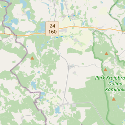
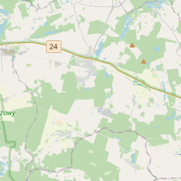
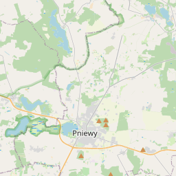
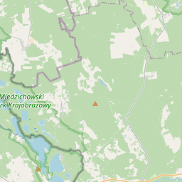
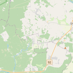
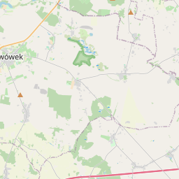
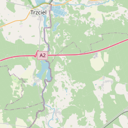
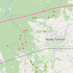
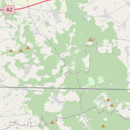
52.4292, 16.0053© OpenStreetMap
Places under this code
17| Place | Region | County | Coordinates |
|---|---|---|---|
| Błaki | Greater Poland | Powiat nowotomyski | 52.4292, 16.0053 |
| Glinki | Greater Poland | Powiat nowotomyski | 52.3571, 16.0583 |
| Jabłonka Stara | Greater Poland | Powiat nowotomyski | 52.4197, 15.8793 |
| Leśny Folwark | Greater Poland | Powiat nowotomyski | 52.4101, 15.9009 |
| Lubień | Greater Poland | Powiat nowotomyski | 52.3975, 15.985 |
| Miedzichowo | Greater Poland | Powiat nowotomyski | 52.3725, 15.9537 |
| Prądówka | Greater Poland | Powiat nowotomyski | 52.3463, 15.9086 |
| Pąchy | Greater Poland | Powiat nowotomyski | 52.4362, 15.9063 |
| Silna Nowa | Greater Poland | Powiat nowotomyski | 52.4323, 15.8501 |
| Smolarnia | Greater Poland | Powiat nowotomyski | 52.3703, 16.0864 |
| Stary Folwark | Greater Poland | Powiat nowotomyski | 52.3772, 15.9157 |
| Szklarka Trzcielska | Greater Poland | Powiat nowotomyski | 52.3931, 15.9213 |
| Toczeń | Greater Poland | Powiat nowotomyski | 52.3607, 15.9928 |
| Trzciel-Odbudowa | Greater Poland | Powiat nowotomyski | 52.3689, 15.9016 |
| Zachodzko | Greater Poland | Powiat nowotomyski | 52.3926, 15.9467 |
| Zawada | Greater Poland | Powiat nowotomyski | 52.4222, 15.9828 |
| Łęczno | Greater Poland | Powiat nowotomyski | 52.3567, 15.9569 |
Same code in other countries
1| Country | Place | Region |
|---|---|---|
| UA Ukraine | Карнаухівка | Kharkivska |
FAQ
Which city is 64-361 in?
Błaki, Greater Poland, Poland.
What are the coordinates of 64-361?
52.4292, 16.0053
Is 64-361 used in other countries?
Yes, 1 other countries.
The data is unofficial and has known truncation; verify with the recipient and carrier for critical shipments. See data source & license → · Updated 2026-11-09. Attribution in