
Polônia
64-361 código postal
Detalhes do código postal
17 locaisCódigo
Local
Błaki
Região
Greater Poland
Condado
Powiat nowotomyski
Coordenadas
52.4292, 16.0053
Precisão
6 / 6
País
Polônia
Localização
OpenStreetMap ↗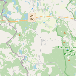
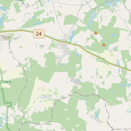
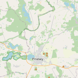
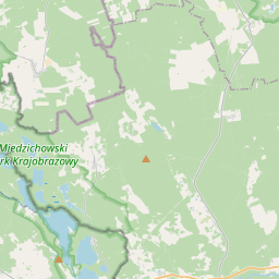
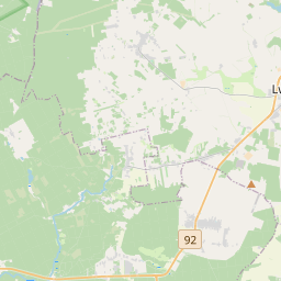
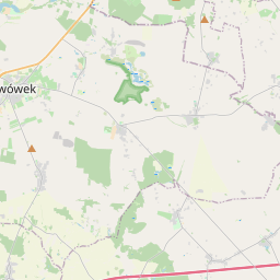
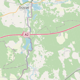
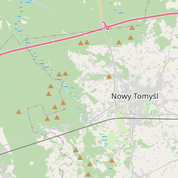
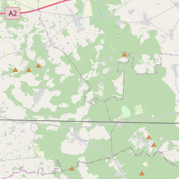
52.4292, 16.0053© OpenStreetMap
Locais com este código
17| Local | Região | Condado | Coordenadas |
|---|---|---|---|
| Błaki | Greater Poland | Powiat nowotomyski | 52.4292, 16.0053 |
| Glinki | Greater Poland | Powiat nowotomyski | 52.3571, 16.0583 |
| Jabłonka Stara | Greater Poland | Powiat nowotomyski | 52.4197, 15.8793 |
| Leśny Folwark | Greater Poland | Powiat nowotomyski | 52.4101, 15.9009 |
| Lubień | Greater Poland | Powiat nowotomyski | 52.3975, 15.985 |
| Miedzichowo | Greater Poland | Powiat nowotomyski | 52.3725, 15.9537 |
| Prądówka | Greater Poland | Powiat nowotomyski | 52.3463, 15.9086 |
| Pąchy | Greater Poland | Powiat nowotomyski | 52.4362, 15.9063 |
| Silna Nowa | Greater Poland | Powiat nowotomyski | 52.4323, 15.8501 |
| Smolarnia | Greater Poland | Powiat nowotomyski | 52.3703, 16.0864 |
| Stary Folwark | Greater Poland | Powiat nowotomyski | 52.3772, 15.9157 |
| Szklarka Trzcielska | Greater Poland | Powiat nowotomyski | 52.3931, 15.9213 |
| Toczeń | Greater Poland | Powiat nowotomyski | 52.3607, 15.9928 |
| Trzciel-Odbudowa | Greater Poland | Powiat nowotomyski | 52.3689, 15.9016 |
| Zachodzko | Greater Poland | Powiat nowotomyski | 52.3926, 15.9467 |
| Zawada | Greater Poland | Powiat nowotomyski | 52.4222, 15.9828 |
| Łęczno | Greater Poland | Powiat nowotomyski | 52.3567, 15.9569 |
O mesmo código noutros países
1| País | Local | Região |
|---|---|---|
| UA Ucrânia | Карнаухівка | Kharkivska |
FAQ
Em que cidade fica 64-361?
Błaki, Greater Poland, Polônia.
Quais são as coordenadas de 64-361?
52.4292, 16.0053
O 64-361 é usado noutros países?
Sim, em 1 outros países.
Os dados não são oficiais e têm truncamentos conhecidos; confirme com o destinatário e a transportadora em envios críticos. Ver origem e licença dos dados → · Atualizado em 2026-11-09. Atribuição em