
Reino Unido
WA16 código postal
Detalles del código postal
16 lugaresCódigo
Lugar
High Legh
Región
England
Condado
Cheshire
Coordenadas
53.3514, -2.4538
Precisión
4 / 6
País
Reino Unido
Ubicación
OpenStreetMap ↗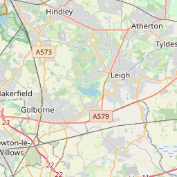
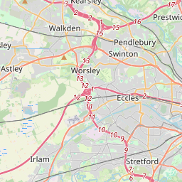
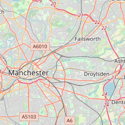
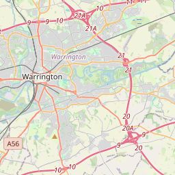
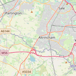
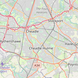
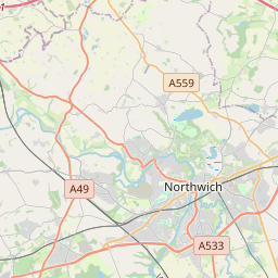
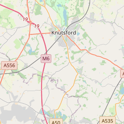

53.3514, -2.4538© OpenStreetMap
Lugares con este código
16| Lugar | Región | Condado | Coordenadas |
|---|---|---|---|
| High Legh | England | Cheshire | 53.3514, -2.4538 |
| Knolls Green | England | Cheshire | 53.3033, -2.3715 |
| Knutsford | England | Cheshire | 53.3029, -2.3748 |
| Lower Peover | England | Cheshire | 53.3033, -2.3715 |
| Marthall | England | Cheshire | 53.278, -2.3026 |
| Mere | England | Cheshire | 53.3333, -2.4167 |
| Mobberley | England | Cheshire | 53.3167, -2.3167 |
| Ollerton | England | Cheshire | 53.284, -2.3319 |
| Over Peover | England | Cheshire | 53.3033, -2.3715 |
| Over Tabley | England | Cheshire | 53.3033, -2.3715 |
| Peover Heath | England | Cheshire | 53.3033, -2.3715 |
| Pickmere | England | Cheshire | 53.2927, -2.4622 |
| Plumley | England | Cheshire | 53.2742, -2.4191 |
| Rostherne | England | Cheshire | 53.3463, -2.386 |
| Smithy Green | England | Cheshire | 53.3033, -2.3715 |
| Sworton Heath | England | Cheshire | 53.3033, -2.3715 |
Mismo código en otros países
0Este código solo aparece en este país.
FAQ
¿En qué ciudad está WA16?
High Legh, England, Reino Unido.
¿Cuáles son las coordenadas de WA16?
53.3514, -2.4538
¿Se usa WA16 en otros países?
No.
Los datos no son oficiales y presentan truncamientos conocidos; verifica con el destinatario y el transportista en los envíos críticos. Ver la fuente y la licencia de los datos → · Actualizado el 2026-11-09. Atribución en