
Reino Unido
WA16 código postal
Detalhes do código postal
16 locaisCódigo
Local
High Legh
Região
England
Condado
Cheshire
Coordenadas
53.3514, -2.4538
Precisão
4 / 6
País
Reino Unido
Localização
OpenStreetMap ↗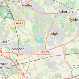
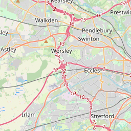
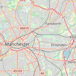
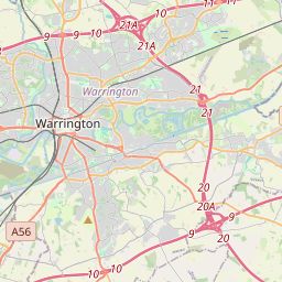
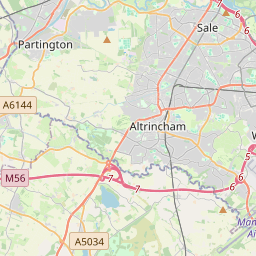
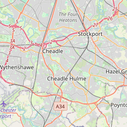
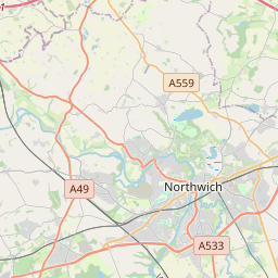
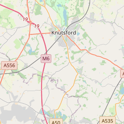

53.3514, -2.4538© OpenStreetMap
Locais com este código
16| Local | Região | Condado | Coordenadas |
|---|---|---|---|
| High Legh | England | Cheshire | 53.3514, -2.4538 |
| Knolls Green | England | Cheshire | 53.3033, -2.3715 |
| Knutsford | England | Cheshire | 53.3029, -2.3748 |
| Lower Peover | England | Cheshire | 53.3033, -2.3715 |
| Marthall | England | Cheshire | 53.278, -2.3026 |
| Mere | England | Cheshire | 53.3333, -2.4167 |
| Mobberley | England | Cheshire | 53.3167, -2.3167 |
| Ollerton | England | Cheshire | 53.284, -2.3319 |
| Over Peover | England | Cheshire | 53.3033, -2.3715 |
| Over Tabley | England | Cheshire | 53.3033, -2.3715 |
| Peover Heath | England | Cheshire | 53.3033, -2.3715 |
| Pickmere | England | Cheshire | 53.2927, -2.4622 |
| Plumley | England | Cheshire | 53.2742, -2.4191 |
| Rostherne | England | Cheshire | 53.3463, -2.386 |
| Smithy Green | England | Cheshire | 53.3033, -2.3715 |
| Sworton Heath | England | Cheshire | 53.3033, -2.3715 |
O mesmo código noutros países
0Este código só aparece neste país.
FAQ
Em que cidade fica WA16?
High Legh, England, Reino Unido.
Quais são as coordenadas de WA16?
53.3514, -2.4538
O WA16 é usado noutros países?
Não.
Os dados não são oficiais e têm truncamentos conhecidos; confirme com o destinatário e a transportadora em envios críticos. Ver origem e licença dos dados → · Atualizado em 2026-11-09. Atribuição em