
Regno Unito
WA16 codice postale
Dettagli del codice postale
16 luoghiCodice
Luogo
High Legh
Regione
England
Contea
Cheshire
Coordinate
53.3514, -2.4538
Precisione
4 / 6
Paese
Regno Unito
Posizione
OpenStreetMap ↗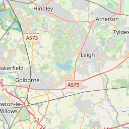
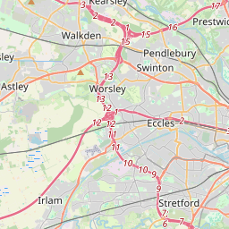
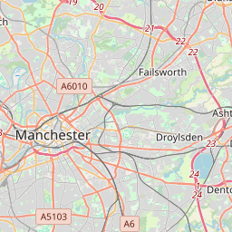
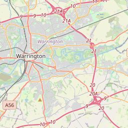
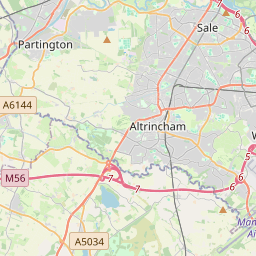
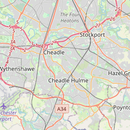
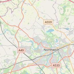
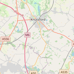

53.3514, -2.4538© OpenStreetMap
Luoghi con questo codice
16| Luogo | Regione | Contea | Coordinate |
|---|---|---|---|
| High Legh | England | Cheshire | 53.3514, -2.4538 |
| Knolls Green | England | Cheshire | 53.3033, -2.3715 |
| Knutsford | England | Cheshire | 53.3029, -2.3748 |
| Lower Peover | England | Cheshire | 53.3033, -2.3715 |
| Marthall | England | Cheshire | 53.278, -2.3026 |
| Mere | England | Cheshire | 53.3333, -2.4167 |
| Mobberley | England | Cheshire | 53.3167, -2.3167 |
| Ollerton | England | Cheshire | 53.284, -2.3319 |
| Over Peover | England | Cheshire | 53.3033, -2.3715 |
| Over Tabley | England | Cheshire | 53.3033, -2.3715 |
| Peover Heath | England | Cheshire | 53.3033, -2.3715 |
| Pickmere | England | Cheshire | 53.2927, -2.4622 |
| Plumley | England | Cheshire | 53.2742, -2.4191 |
| Rostherne | England | Cheshire | 53.3463, -2.386 |
| Smithy Green | England | Cheshire | 53.3033, -2.3715 |
| Sworton Heath | England | Cheshire | 53.3033, -2.3715 |
Stesso codice in altri Paesi
0Questo codice compare solo in questo Paese.
FAQ
In quale città si trova WA16?
High Legh, England, Regno Unito.
Quali sono le coordinate di WA16?
53.3514, -2.4538
WA16 è usato in altri Paesi?
No.
I dati non sono ufficiali e presentano troncamenti noti; per le spedizioni critiche verifica con il destinatario e con il corriere. Vedi fonte e licenza dei dati → · Aggiornato il 2026-11-09. Attribuzione in