
Polônia
64-300 código postal
Detalhes do código postal
20 locaisCódigo
Local
Boruja Kościelna
Região
Greater Poland
Condado
Powiat nowotomyski
Coordenadas
52.2663, 16.1337
Precisão
6 / 6
País
Polônia
Localização
OpenStreetMap ↗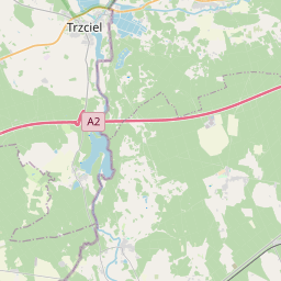
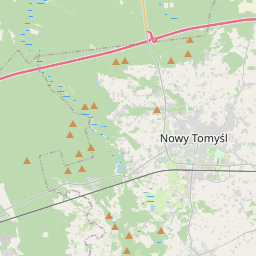
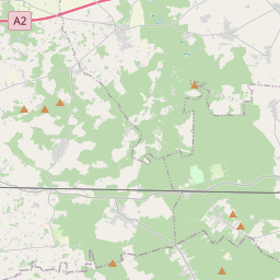
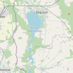
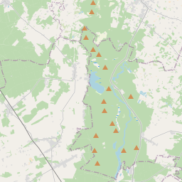
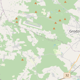
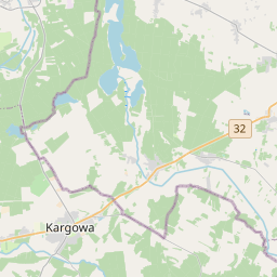
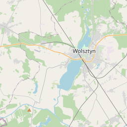
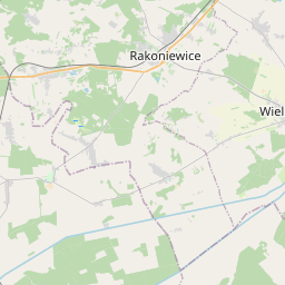
52.2663, 16.1337© OpenStreetMap
Locais com este código
20| Local | Região | Condado | Coordenadas |
|---|---|---|---|
| Boruja Kościelna | Greater Poland | Powiat nowotomyski | 52.2663, 16.1337 |
| Boruja Nowa | Greater Poland | Powiat nowotomyski | 52.2497, 16.1458 |
| Bukowiec | Greater Poland | Powiat nowotomyski | 52.2929, 16.2476 |
| Chojniki | Greater Poland | Powiat nowotomyski | 52.2819, 16.1155 |
| Cicha Góra | Greater Poland | Powiat nowotomyski | 52.2838, 16.1953 |
| Glinno | Greater Poland | Powiat nowotomyski | 52.3266, 16.135 |
| Grubsko | Greater Poland | Powiat nowotomyski | 52.2658, 16.0647 |
| Jastrzębsko Stare | Greater Poland | Powiat nowotomyski | 52.2959, 16.0624 |
| Kozie Laski | Greater Poland | Powiat nowotomyski | 52.3588, 16.1825 |
| Nowa Róża | Greater Poland | Powiat nowotomyski | 52.3327, 16.2262 |
| Nowy Tomyśl | Greater Poland | Powiat nowotomyski | 52.3163, 16.1348 |
| Paproć | Greater Poland | Powiat nowotomyski | 52.3025, 16.1551 |
| Przyłęk | Greater Poland | Powiat nowotomyski | 52.3365, 16.0953 |
| Róża | Greater Poland | Powiat nowotomyski | 52.3489, 16.2158 |
| Stary Tomyśl | Greater Poland | Powiat nowotomyski | 52.3408, 16.1676 |
| Szarki | Greater Poland | Powiat nowotomyski | 52.2561, 16.0882 |
| Sątopy | Greater Poland | Powiat nowotomyski | 52.317, 16.2093 |
| Sękowo | Greater Poland | Powiat nowotomyski | 52.3088, 16.0951 |
| Trzy Dęby | Greater Poland | Powiat nowotomyski | 52.2816, 16.2215 |
| Wytomyśl | Greater Poland | Powiat nowotomyski | 52.3803, 16.182 |
FAQ
Em que cidade fica 64-300?
Boruja Kościelna, Greater Poland, Polônia.
Quais são as coordenadas de 64-300?
52.2663, 16.1337
O 64-300 é usado noutros países?
Sim, em 7 outros países.
Os dados não são oficiais e têm truncamentos conhecidos; confirme com o destinatário e a transportadora em envios críticos. Ver origem e licença dos dados → · Atualizado em 2026-11-09. Atribuição em